Interested in Systems/ATUs?
Get Systems/ATUs articles, news and videos right in your inbox! Sign up now.
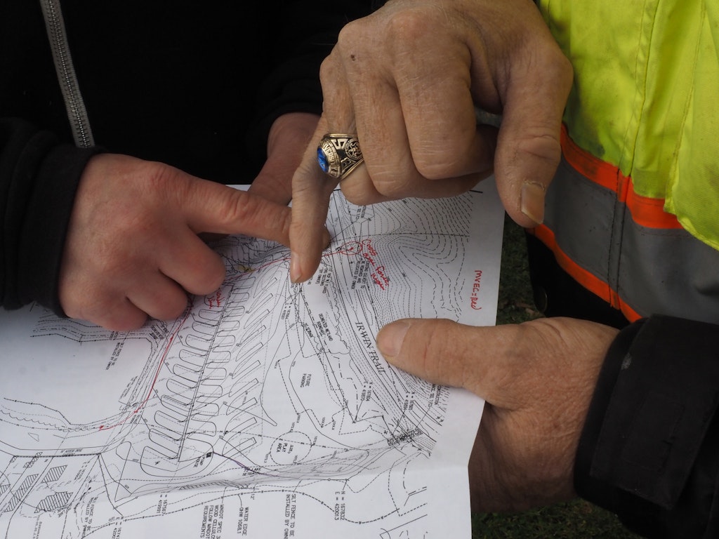
Systems/ATUs + Get AlertsI continually receive questions or comments about how to use transits and levels. So, at risk of raising the confusion level, I will take on some of these questions — relying on some of you out there to contribute your own ideas and approaches.
To begin, here are definitions of terms you need to be familiar with for any surveying discussion:
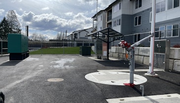
Benchmark: A relatively permanent object of known or assumed elevation. It may be a high point on a boulder that will not be removed, a stake driven next to a tree that will not be removed, a spike in a utility pole, corner of a garage or building — something that will not change over time.
The benchmark may have an elevation reference to mean sea level or can be given an assumed elevation of 100 (using 100 avoids the need for negative numbers).
Backsight (B.S.): A rod reading on a point of known or assumed elevation. The first rod reading on the benchmark would be backsight. The backsight reading is added to the elevation of the benchmark to determine elevation of the center crosshair of the leveling instrument.
Height of Instrument (H.I.): The elevation of the horizontal crosshair or line of sight of the surveying instrument. The height of the instrument is determined by adding the backsight reading to the elevation of the point being sighted upon. As an example, if the rod reading on the backsight of the benchmark designated an elevation of 100 feet, at 5.5 feet the elevation of the crosshair is 105.5.
Foresight (F.S.): A rod reading taken on a point for which the elevation is to be determined. The elevation is determined by subtracting the foresight reading from the height of the instrument. If the rod reading on the foresight is 7.5, the elevation is 105.5 – 7.5, or 98.0, which means the elevation of that point is 2 feet lower than the benchmark elevation of 100.0 feet.
Grade Rod: A rod reading when the bottom of the rod is held on “grade.” The grade rod can be calculated using the plans and specifications.
Next we will look at how to check or establish elevations on a relative basis or with a benchmark, what kinds of instruments can be used, and some survey techniques that are useful for site evaluation and system installation.
About the author: Jim Anderson is connected with the University of Minnesota onsite wastewater treatment program and is an emeritus professor in the university’s Department of Soil, Water and Climate. Send him questions about septic system maintenance and operation by sending an email to kim.peterson@colepublishing.com.
This article is part of a series on site surveying.
- Site Surveying: Terms You Should Know
- Equipment Options for Site Surveying
- Using a Hand or Abney Level
- Surveying: Checking Relative Elevations
- Establishing Onsite Treatment System Elevations Using a Benchmark